Trending

Somewhere on a hillside, often in the rain, every walker meets the same question: am I actually allowed to be here? In the UK the answer has surprisingly little to do with how wild the ground looks. It depends on a legal layer laid over the landscape — and once you can read that layer, planning a route stops being a gamble.
The rules differ in England and Wales, in Scotland and in Northern Ireland, and they are not interchangeable. What follows is the working knowledge that covers the great majority of day walks and long-distance routes, plus the checks that save you a long trudge back to the car.
Almost every step you take in England and Wales falls into one of three categories.
The first is a public right of way: a legal right to pass along a specific line on the map. It is a right of passage, not a right to wander. You can walk it, pause on it, eat your sandwiches on it, but you cannot leave it to cross the field beside it, however empty and inviting that field looks.
The second is open access land, where the freedom works the other way round. You can roam across an area rather than follow a line — but only across land that has been designated for access, and only on foot.
The third is permissive access: a path or area a landowner has opened voluntarily. On the ground it can look identical to a right of way, and it can be closed or withdrawn. If a route is marked "permissive" or "courtesy path", treat it as a favour rather than a right and expect occasional disruption. A common trick is to close a permissive path for one day a year, precisely so that it never hardens into a legal right.
Outside those three, you need permission. Trespass in England and Wales is generally a civil matter rather than a criminal one, but that is a description of the law, not an invitation — and it does not apply to railways, military land and a handful of other places where trespass is a criminal offence.
A public footpath is exactly what the name says: a right of way on foot. Not on a bike, not on a horse, not in a vehicle. In England and Wales it is usually waymarked with a yellow arrow, and the landowner is responsible for keeping stiles and gates in working order so the route stays usable.
Here is the detail that catches people out. A footpath does not give you the right to walk on the land either side of it. If it crosses a field, cross the field on the line of the path. If a crop has been planted over the line, the farmer is generally expected to reinstate a reasonable strip — but you will get further with a friendly word than with an argument.
Two more things worth knowing. Ploughing a footpath is legal if it is reinstated within a set period, so a freshly turned field is not automatically an obstruction. And dogs: on a public footpath you must have your dog under control and ideally on a lead around livestock, because a footpath crossing a field with sheep is one of the most common sources of friction between walkers and farmers.
Footpaths are often the most direct lines on the map, which is why they tend to be the steepest, muddiest and most overgrown. That is not a sign you have gone wrong.
Bridleways carry more traffic than footpaths: walkers, horse riders and cyclists. On two wheels, the convention and the expectation is that you give way to walkers and horses.
England and Wales have a small vocabulary of these routes, and the waymarking colour tells you what is allowed. The convention is common but not universal, so check the local authority's key if a colour looks odd.
For most hill walkers, bridleways are simply footpaths with better surfaces and fewer stiles: gateways instead of ladder stiles, gentler gradients, and a much better chance of staying open in winter.
Under the Countryside and Rights of Way Act 2000, large areas of England and Wales were mapped as open access land: mountain, moor, heath, down and registered common land. On this land you may wander where you like, which is a genuinely different kind of freedom from following a line.
The conditions are worth memorising, because they are what make the freedom safe and lawful.
The principle is simple: the freedom to roam is a freedom to roam responsibly, not a licence to go anywhere that looks empty.
Cross the border and the legal model changes. The Land Reform (Scotland) Act 2003 created a statutory right of responsible access over most land in Scotland, for recreation and for passage. That covers walking, cycling, horse riding and wild camping, and it applies whether or not a path exists.
It is not unlimited. The right does not extend to houses and their gardens, farmland with growing crops, land around buildings, or any place where you would reasonably expect privacy. It is exercised under the Scottish Outdoor Access Code, which expects you to leave no trace, keep dogs under close control around livestock, and avoid disturbing wildlife or farm work.
The practical upshot for a walker is liberating: in Scotland you are far less likely to find yourself pinned to a single line on the map. The obligation simply moves from the landowner to you.
Northern Ireland has no general right to roam. Access is a patchwork of public rights of way, permissive paths, forest parks and country parks, plus a great deal of land that is open because the landowner is content for it to be. In practice, many of the best walks depend on goodwill, which is all the more reason to leave gates as you find them and stick to stiles and signs.
Two minutes with the map prevents most of the awkwardness. On Ordnance Survey Explorer and Landranger maps, rights of way are drawn in green: footpaths as short dashes, bridleways as longer dashes, byways as crosses. The legend has been revised over the years, so read the key on the sheet in front of you rather than relying on memory.
Remember that a line on a map is not proof of a right of way. The definitive record is the local highway authority's definitive map, which almost every council publishes online. For open access land, the official rights of way and open access maps are the reference point.
Then check the practical layer: stiles, diversions, road closures, and whether a path crosses a field due to be ploughed or a river with no bridge.
If a path is blocked by a locked gate, a fence or an unhelpful bull, you may generally deviate only as far as is necessary to get around the obstruction, staying on the same field and returning to the line as soon as you can. Do not use an obstruction as an excuse to redesign your walk.
If a route is genuinely obstructed or the signage is misleading, report it to the council's rights of way team. Highway authorities have a duty to keep public rights of way open, and a short email with a grid reference and a photograph carries more weight than a complaint about "paths in general". Walking groups and path societies keep track of persistent problems too.
And if someone questions you on the ground, be the walker you would want to meet: polite, brief, map in hand, and willing to walk away. Access in the UK rests on a legal framework, but it survives on manners — and the two work best together.
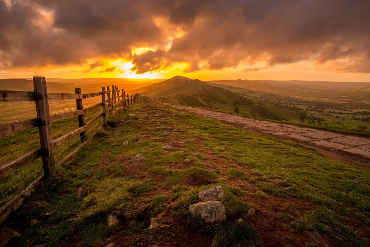
Photo: TimHill / Pixabay